EN 

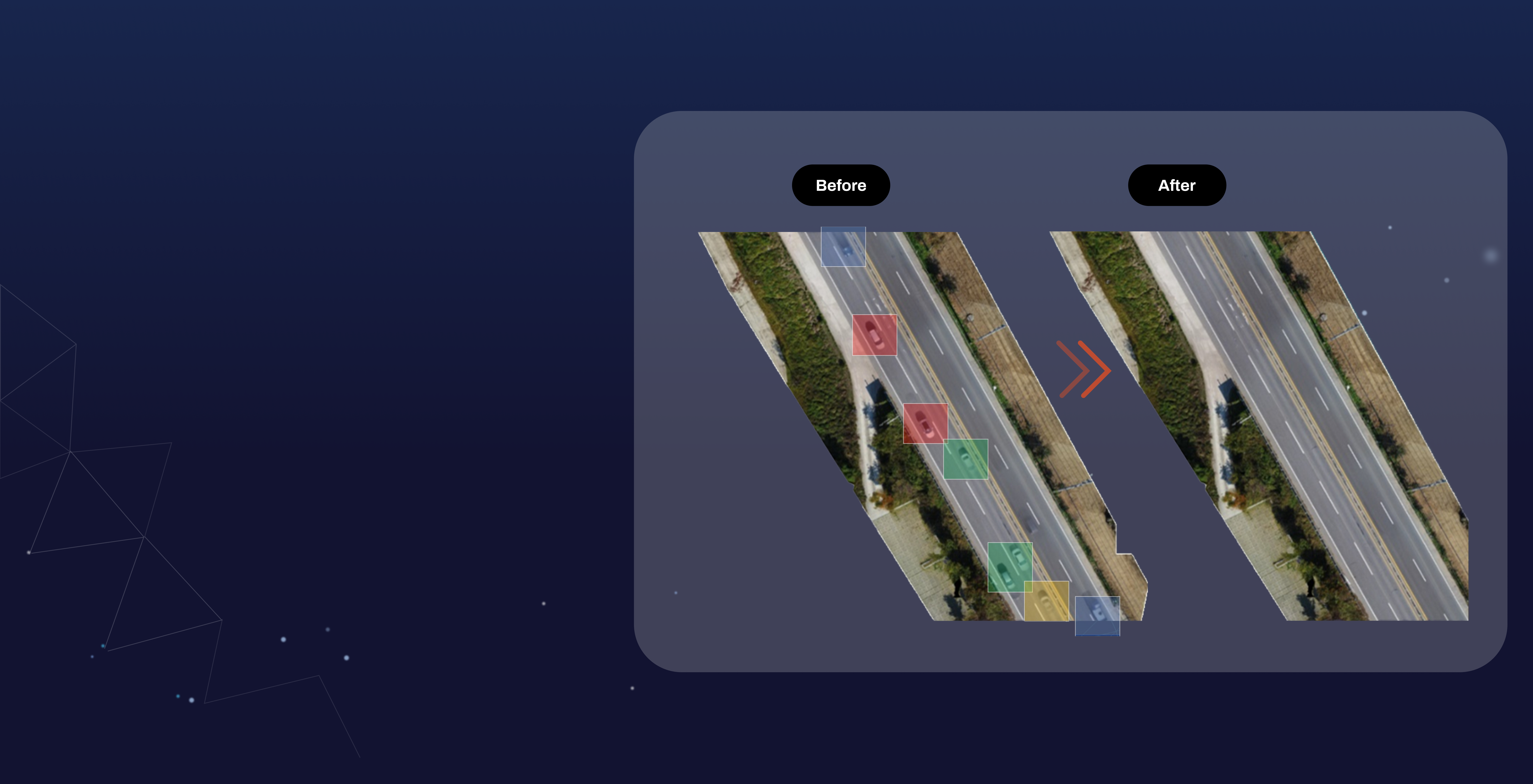
Car-free Street Map
Deep Learning and Drone-based Automated Image
Removal Solution for Vehicles on the Road
An innovative service that will replace the traditional road monitoring system.
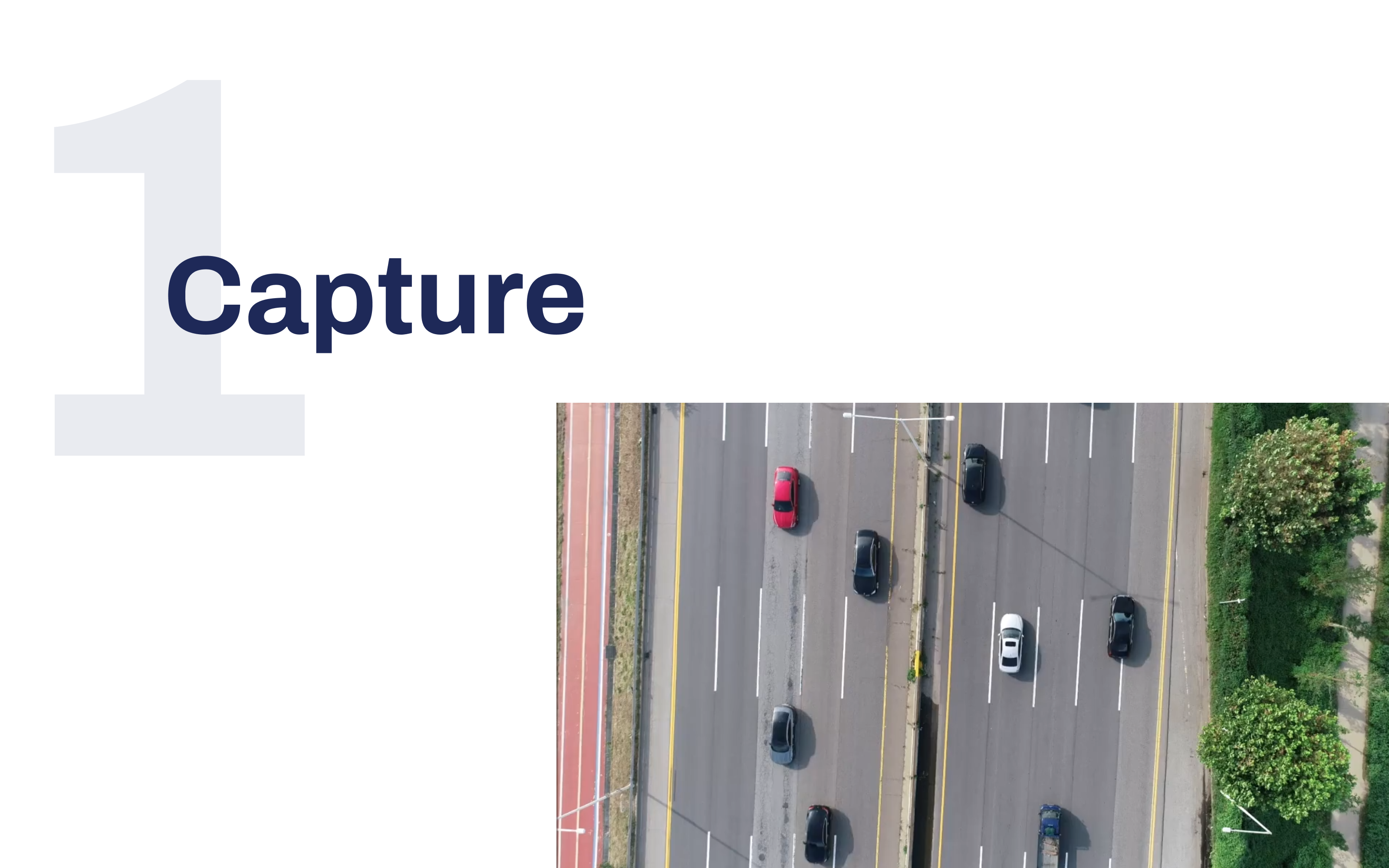
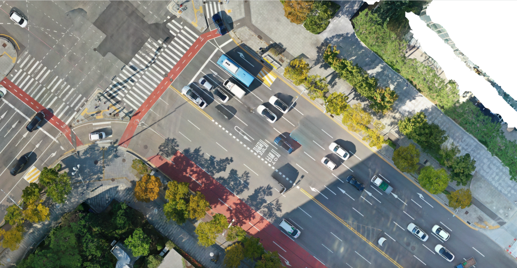
Capture enough data to create
a dataset using the drone.
The data type must be in image format.
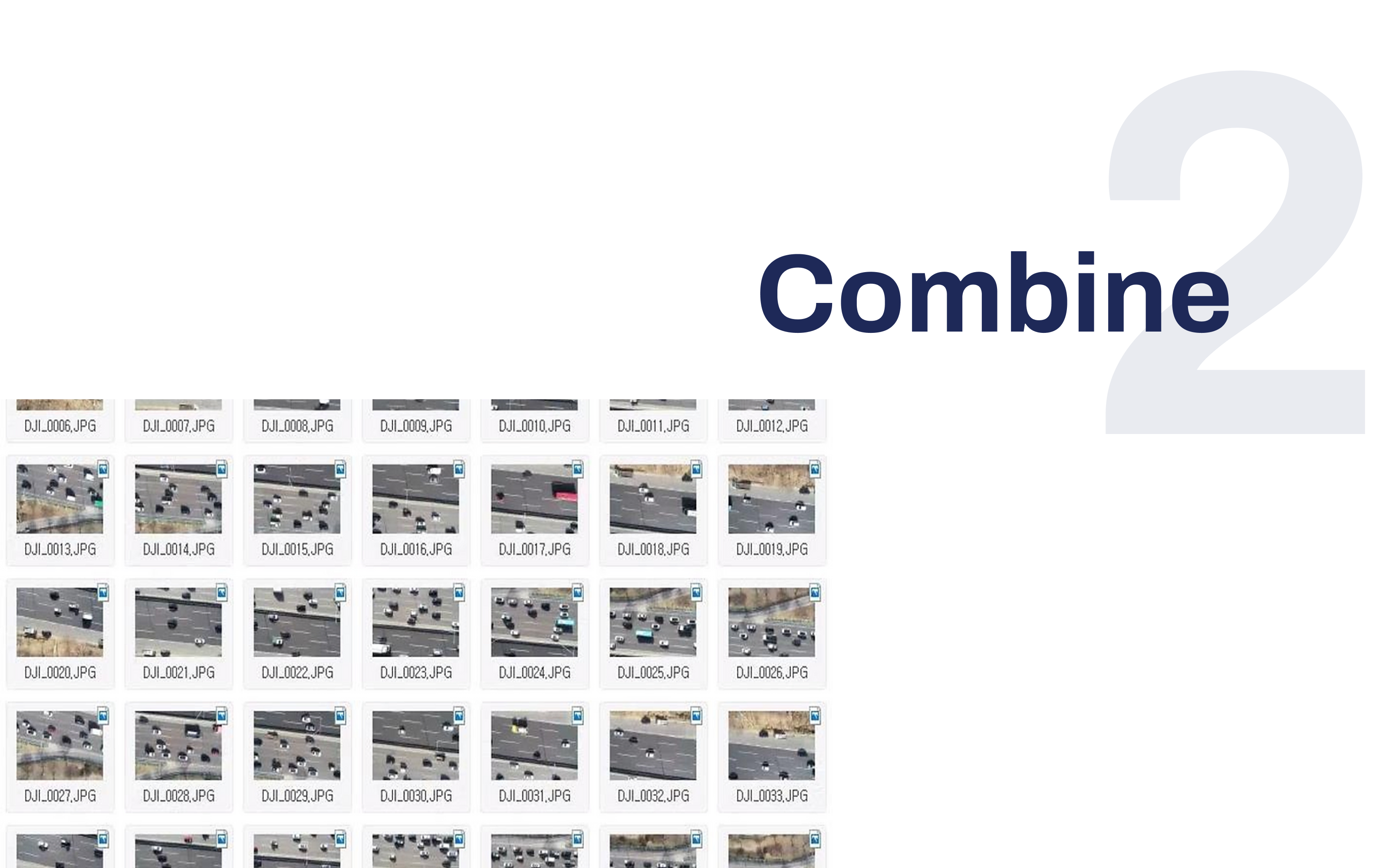
Combine the tile dataset into
one whole road image
for the preparation of data processing.
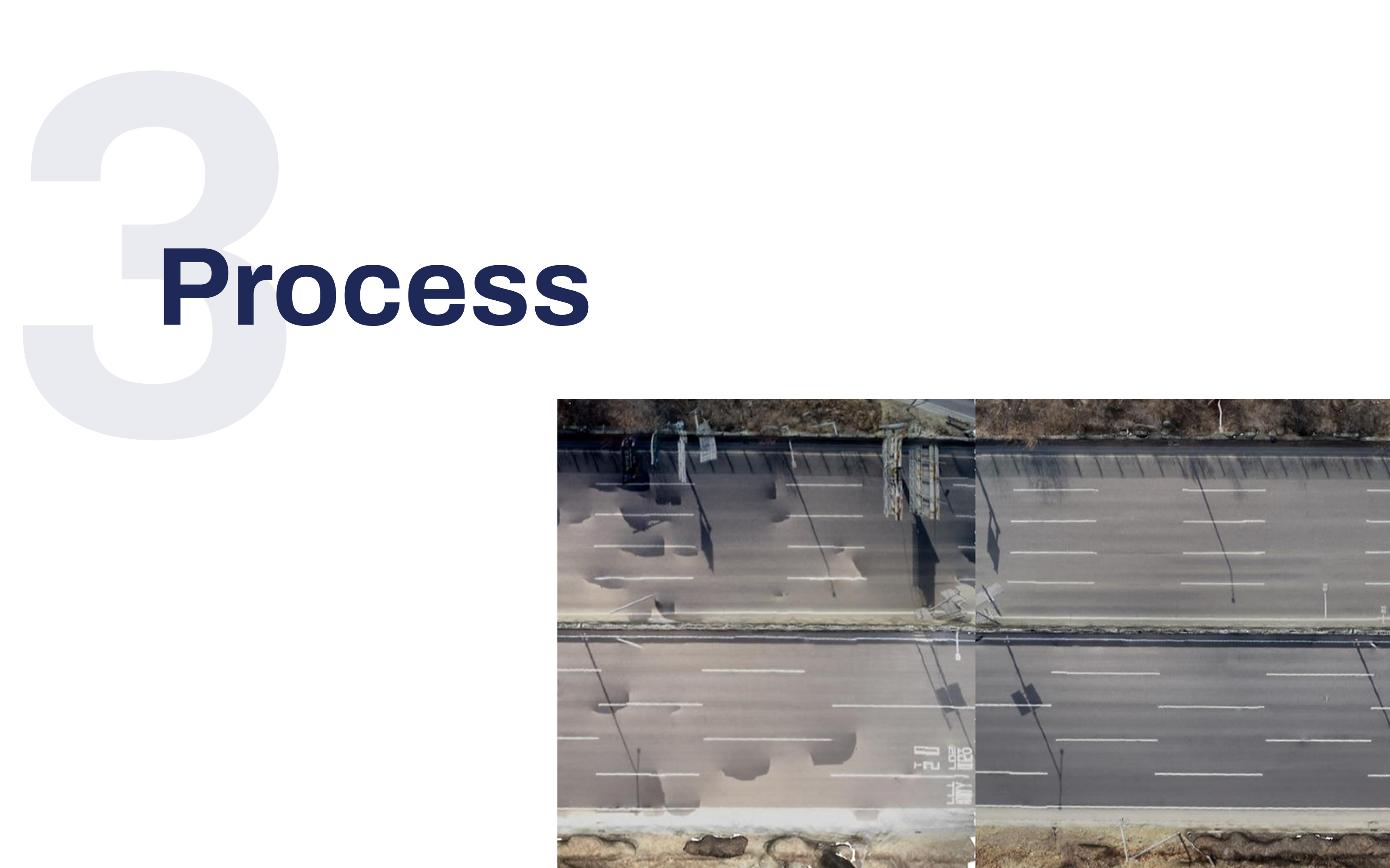
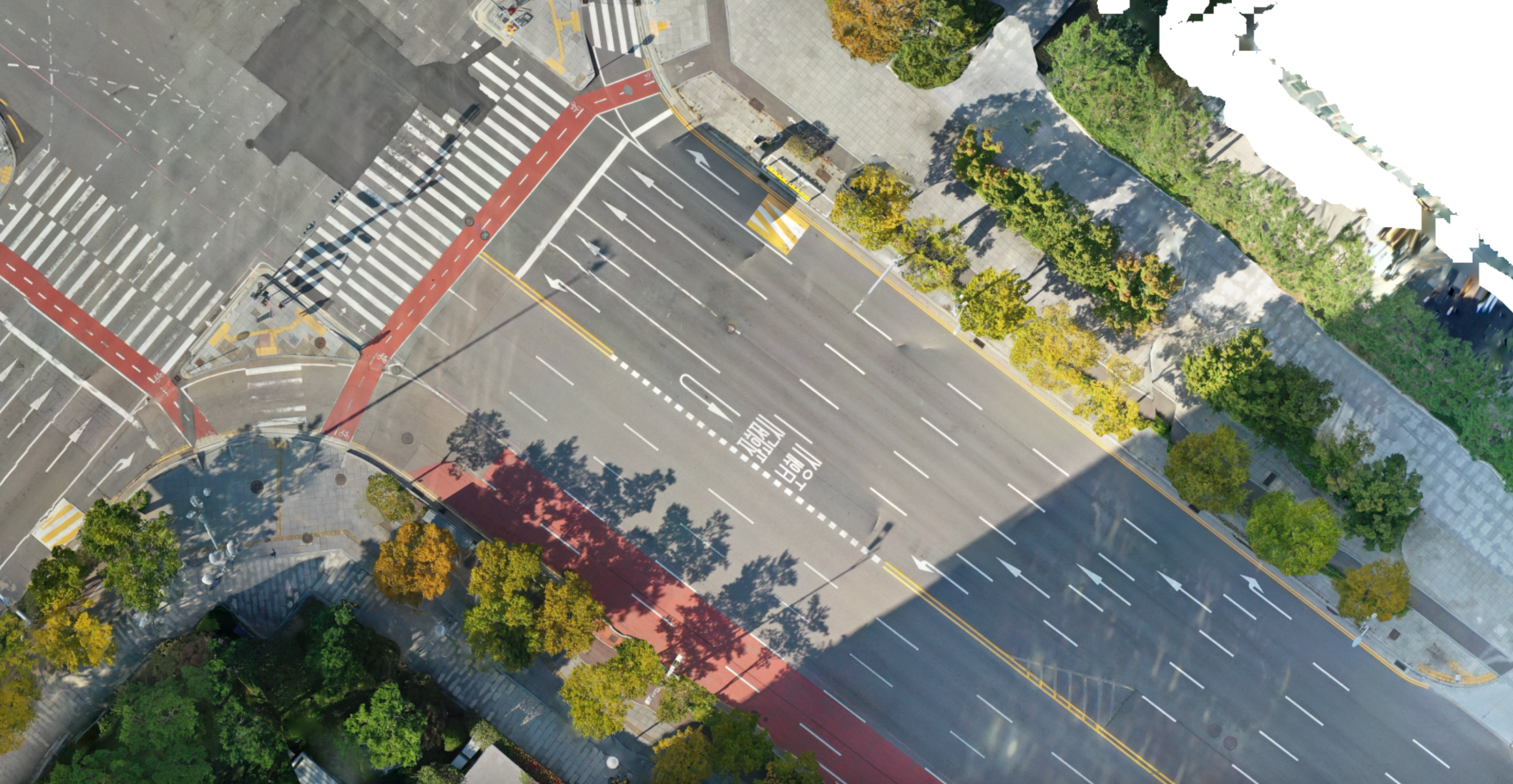
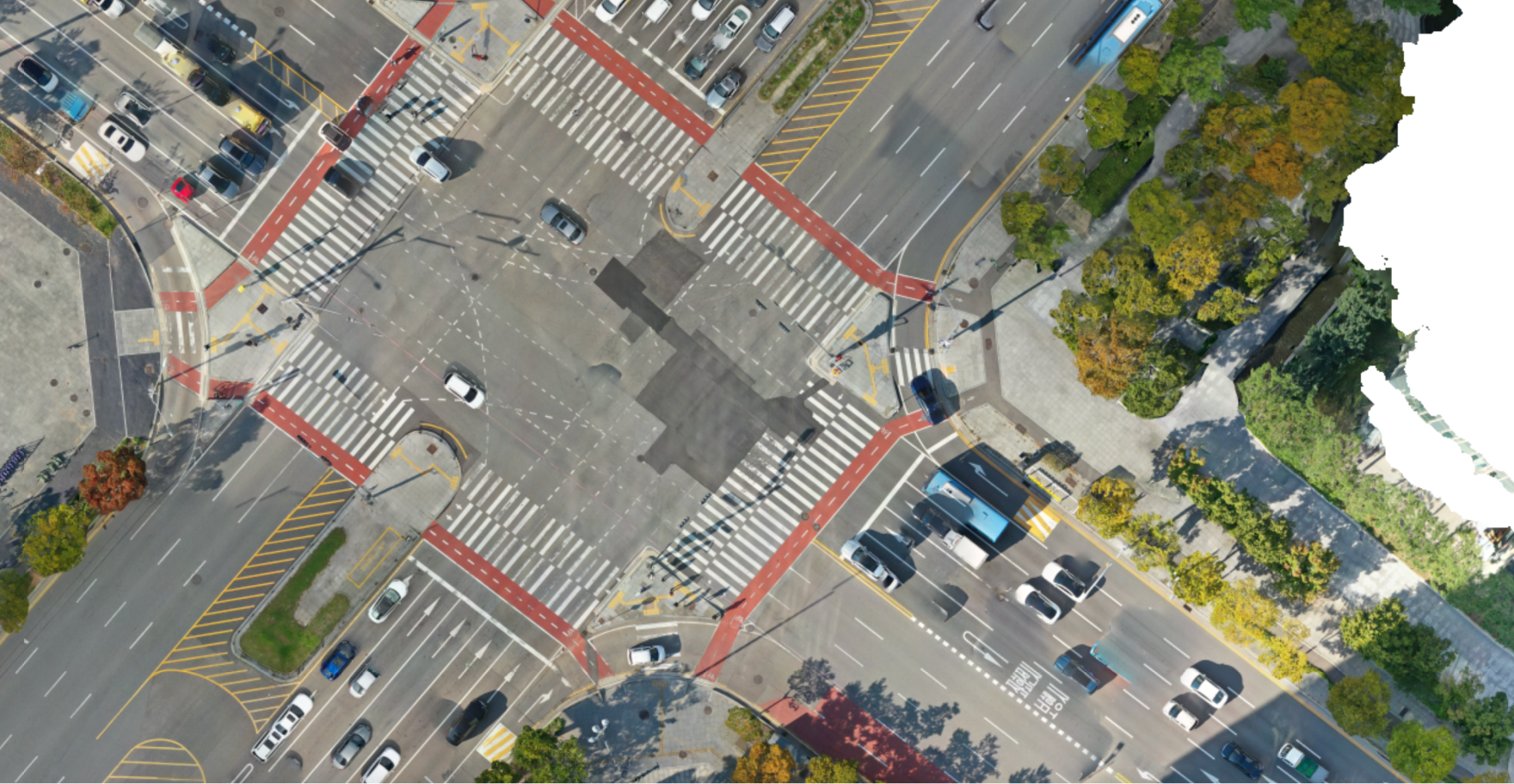
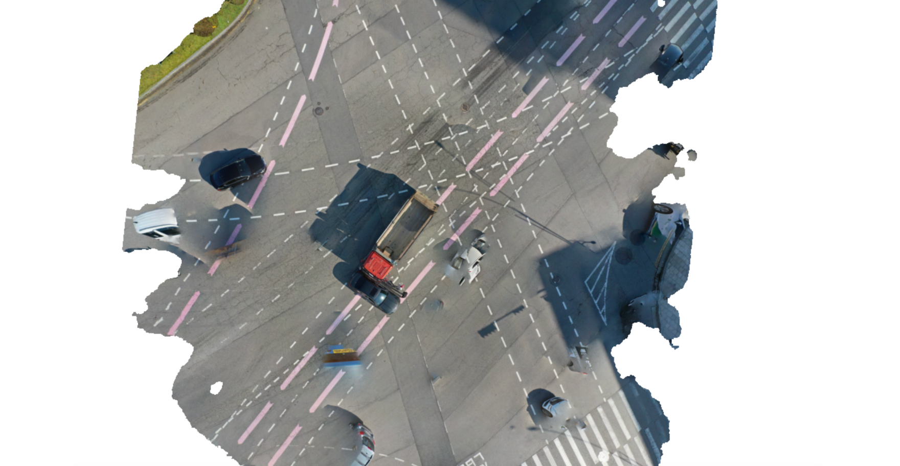
Process the dataset through CfSM solution to get rid of car/shadow images from the road.
The successful result would have a clear road without any distortion.
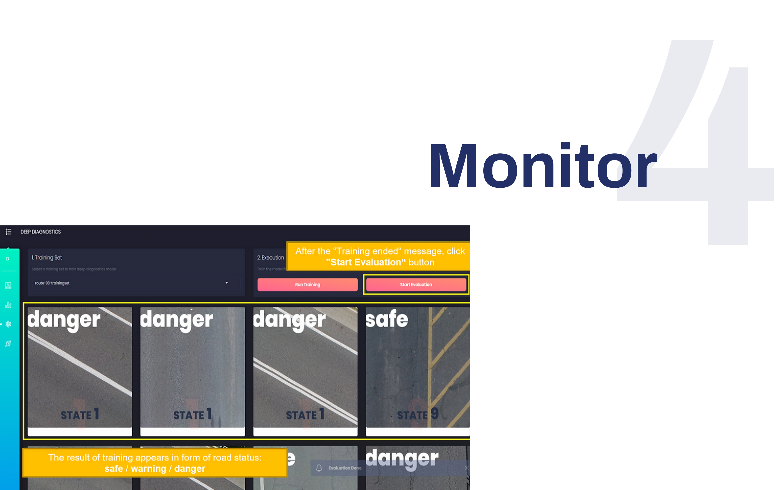
Monitor the status of the road using
CfSM processed image.
Detect the condition of the road by running an analysis on the server.

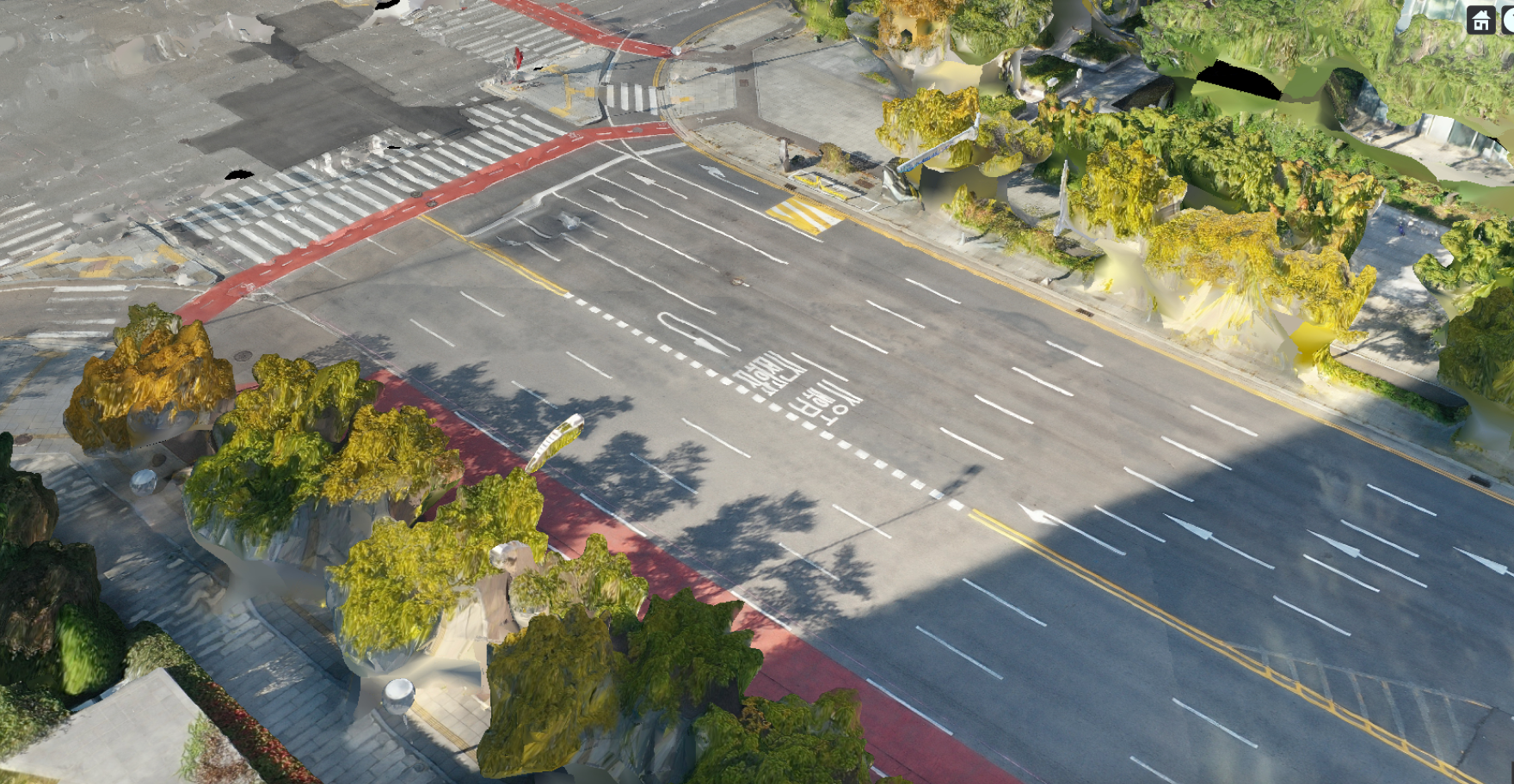
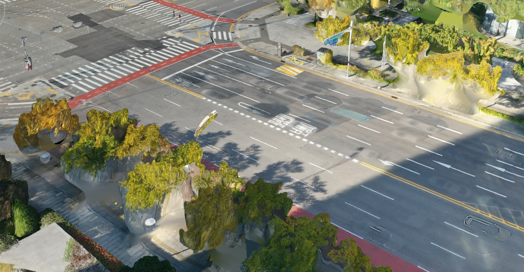
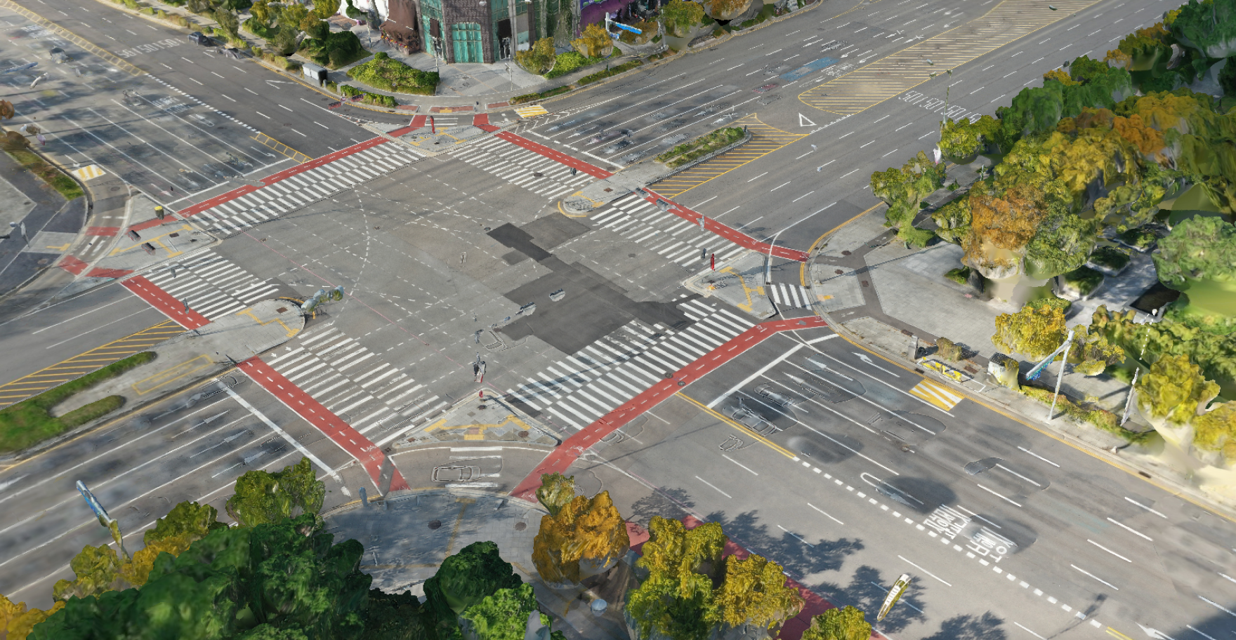
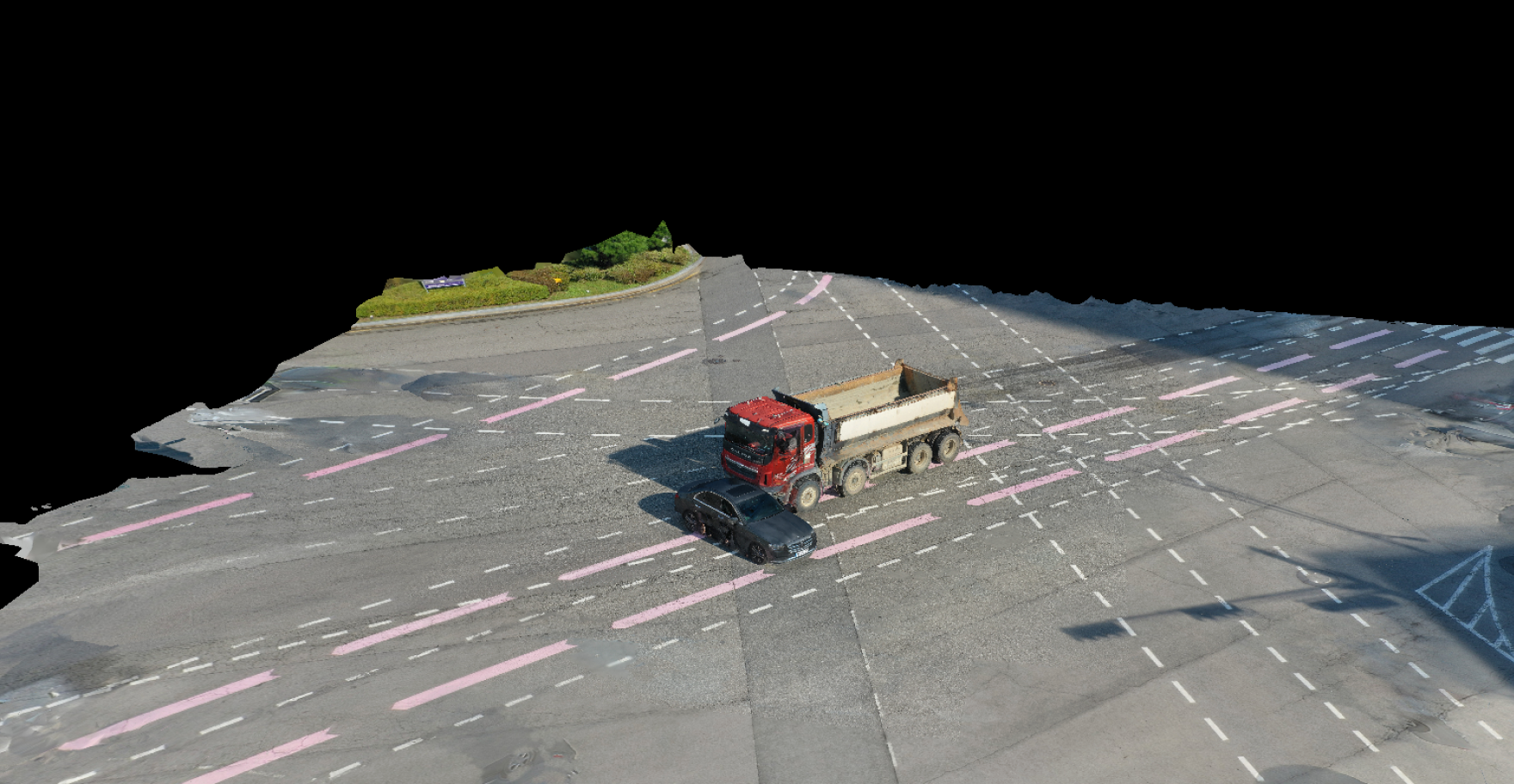
Images taken by drones are reconstructed
and displayed in 3D.
Removes vehicle visibility to reveal the full picture
of the road.
Move the Slide


